
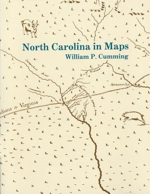
Presents a detailed introduction to each of the following maps: White 1585 MS, White-DeBry 1590, Mercator-Hondius 1606, Comberford 1657 MS, Ogilby-Moxon ca. 1672, Moseley 1733, Collet 1770, Mouzon 1775, Price-Strother 1808, MacRae-Brazier 1833, Colton 1861, Bachmann 1861, U.S. Coast Survey 1865, Kerr-Cain 1882, and Post Route 1896.
Author: William P. Cumming
Binding Type: Paperback
Publisher: North Carolina Division of Archives & History
Published: 01/01/1966
Pages: 44
Weight: 0.31lbs
Size: 11.00h x 8.70w x 0.10d
ISBN: 9780865262577
Language: English


Reviews
There are no reviews yet.